Jorge de Aguiar's Nautical Chart
Jorge de Aguiar's Nautical Chart
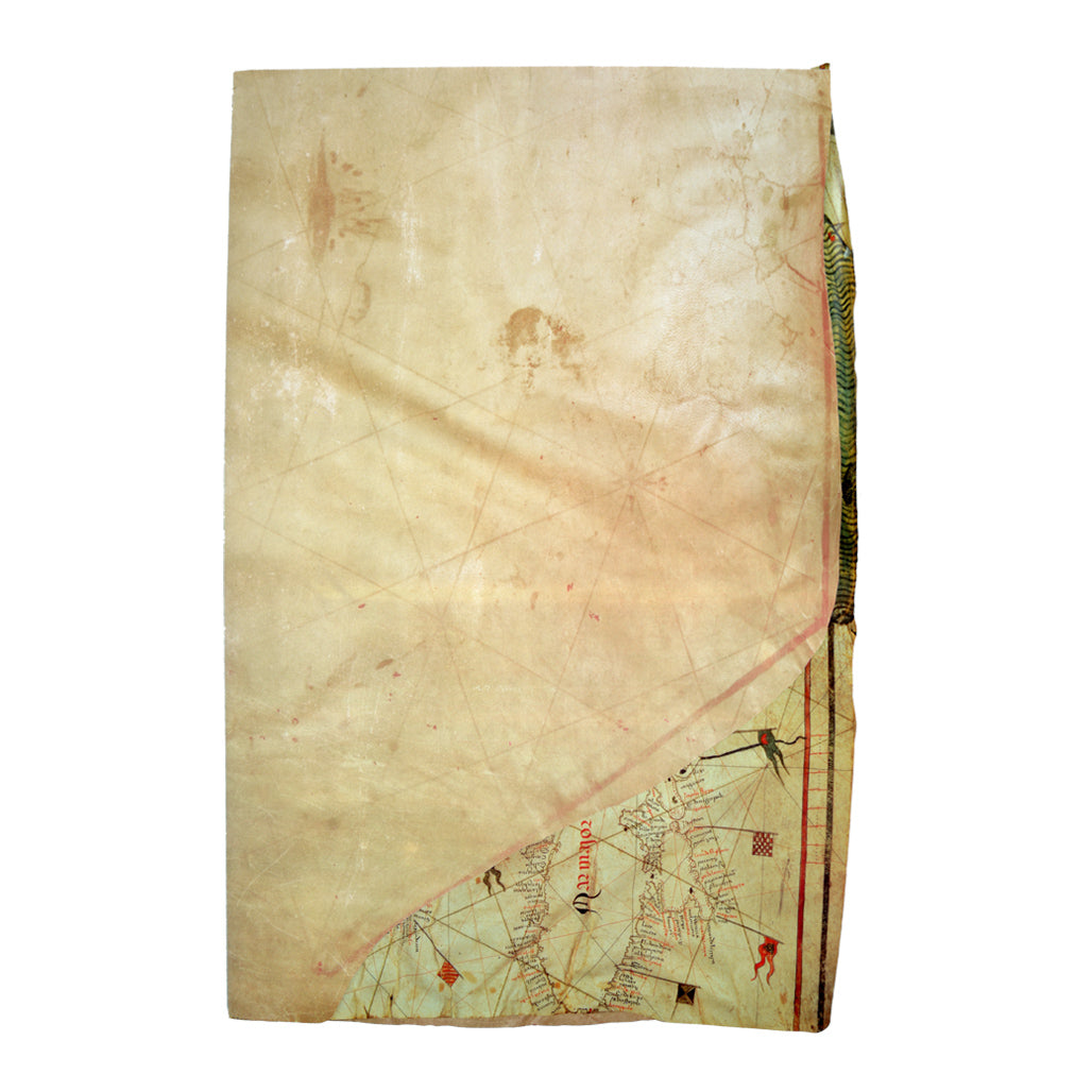
A Monumental Work of Cartography: The Nautical Chart by Jorge de Aguiar from 1492
Facsimile copy of the oldest Portuguese navigation chart, signed and dated, that has survived to this day. Published in 1992 by the Academia de Marinha to commemorate the 500th anniversary of this unique piece, this luxury edition is a true treasure for bibliophiles, researchers, and collectors of historical cartography.
This prestigious work is divided into two fundamental and perfectly complementary parts:
The Facsimile Reproduction: A faithful, high-quality copy, printed at the original dimensions of the 1492 parchment, reproducing with great accuracy and detail both the front and back of the iconic portolan chart.
The Study Book: An academic volume of approximately 150 pages authored by the prestigious historian and cartographer Inácio Guerreiro. The work includes the complete historical context, a Portuguese version, a full English translation, and a preface signed by Admiral Rogério de Oliveira.
Jorge de Aguiar's Chart is a universal scientific landmark, illustrating the geographical knowledge of the Atlantic and the Mediterranean on the eve of Vasco da Gama's voyage.
Study Author: Inácio Guerreiro
Preface: Rogério de Oliveira
Publisher: Academia de Marinha
Year of Publication: 1992 (Fifth Centenary Commemorative Edition)
Unique Features: Includes a facsimile map in original dimensions + bilingual study book (Portuguese / English).
Couldn't load pickup availability
Partilhar