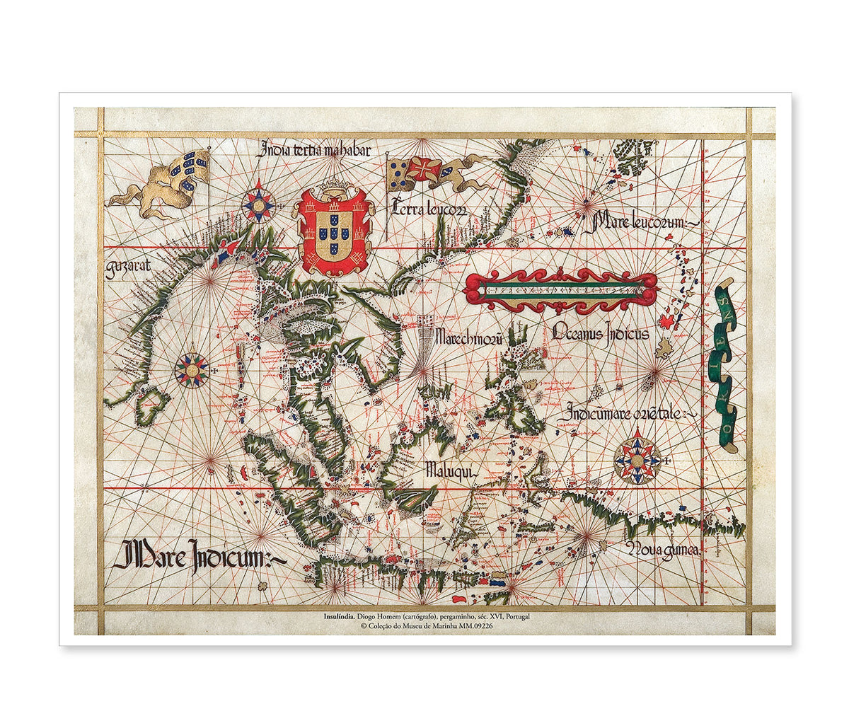
Historical Map of Southeast Asia and the Indian Ocean – Diogo Homem (16th Century)
Historical Map of Southeast Asia and the Indian Ocean – Diogo Homem (16th Century)
The Southeast Asian and Indian Ocean region, as it was known and imagined by Europeans in the 16th century. It includes parts of India, Southeast Asia, the Moluccas archipelago (the “Spice Islands”) and even mysterious New Guinea. It is a cartographic document that reflects the reach of the Portuguese Empire at a time when the world was literally being redrawn.
This region was seen as a treasure trove of spices, precious metals and natural wonders, and was therefore contested by the Iberian powers and other emerging European nations.
Original:
Inventory No.: MM.09226
Creator: Diogo Homem (cartographer)
Chronology: Contemporary, 16th Century
Origin: Portugal
Reproduction:
Giclée print on White Velvet (270g) cotton-based archival paper. This fine art printing method ensures exceptional longevity, deep colours and absolute sharpness
Dimensions: 49 x 37 cm
Couldn't load pickup availability
Partilhar